Labor Day 1999 in Oregon and Washington
Last modified:
November 25, 2004
What's up with these nasty copyright
notices?
(Some pictures taken with Nikon CoolPix950; others are PhotoCD scans.
It should be easy to identify which is which)
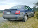
 The
annual tradition of an annual trip to Oregon had to be maintained even in 1999.
So it came that I took off for the Labor Day Weekend, and some. Stupidly, I took
my car instead of flying - it doesn't seem so far when you look on the map - but
once on the road I quickly realized my mistake. Especially since -- who knows
what I was thinking -- I headed from Santa Clara to Stockton. Yes, the I-5 goes
thru there, too, but it's about a 2-hour detour. Anyway. I spent Saturday
driving, until I reached Olympia, WA.
The
annual tradition of an annual trip to Oregon had to be maintained even in 1999.
So it came that I took off for the Labor Day Weekend, and some. Stupidly, I took
my car instead of flying - it doesn't seem so far when you look on the map - but
once on the road I quickly realized my mistake. Especially since -- who knows
what I was thinking -- I headed from Santa Clara to Stockton. Yes, the I-5 goes
thru there, too, but it's about a 2-hour detour. Anyway. I spent Saturday
driving, until I reached Olympia, WA.
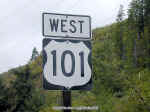
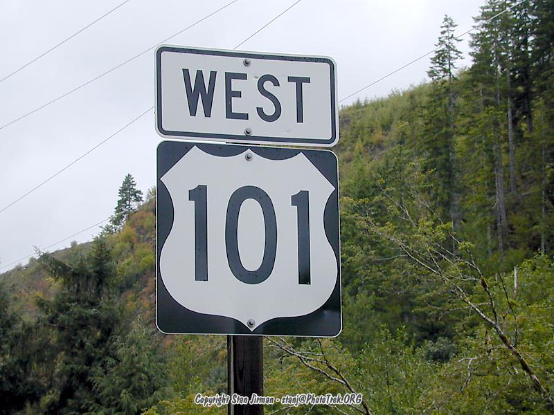
 In
the morning I was greeted by the proper Washington weather - rain. Hey I am not
complaining, au contraire, this is why I came all the way up here. So I turned
on the wipers and headed north west. The first 40 miles I already knew from
yesterday so I just jetted thru. I would like to point out that I was driving on
US-101-North. About 60 miles from Olympia, the road spontaneously calls itself
US-101-West. And another 50 miles later, it's 101-South. I believe that this
road has an identity crisis...
In
the morning I was greeted by the proper Washington weather - rain. Hey I am not
complaining, au contraire, this is why I came all the way up here. So I turned
on the wipers and headed north west. The first 40 miles I already knew from
yesterday so I just jetted thru. I would like to point out that I was driving on
US-101-North. About 60 miles from Olympia, the road spontaneously calls itself
US-101-West. And another 50 miles later, it's 101-South. I believe that this
road has an identity crisis...
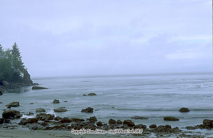
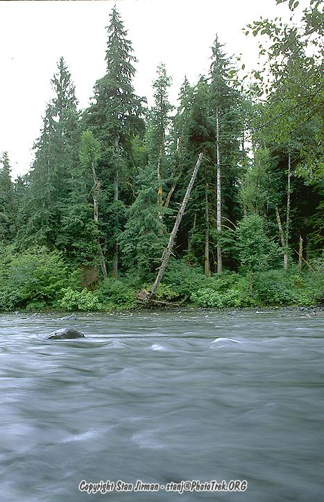
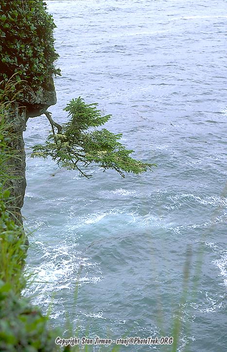
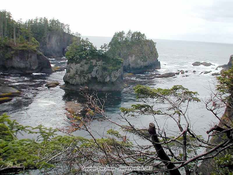
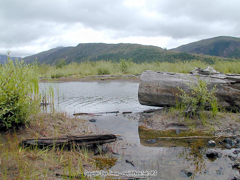
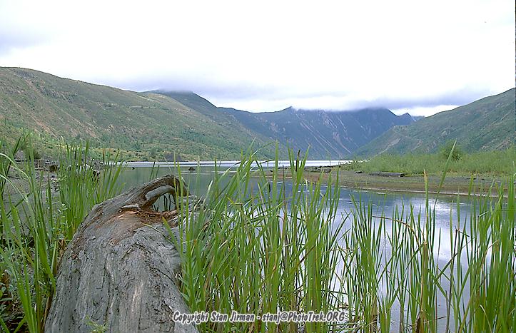
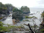
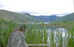
 It
was raining all day, on and off, mostly on. I thought this would give great
photo opportunities - but of course having only ISO-50 film with me, even with
my f2.8 lenses the picture taking opportunities are somewhat limited. For
whatever strange reason, I went to the Point Flattery, the most north-western
tip of WA. The drive goes on unpaved roads, and the hike to the point is long
and downhill - or uphill on the way back.
It
was raining all day, on and off, mostly on. I thought this would give great
photo opportunities - but of course having only ISO-50 film with me, even with
my f2.8 lenses the picture taking opportunities are somewhat limited. For
whatever strange reason, I went to the Point Flattery, the most north-western
tip of WA. The drive goes on unpaved roads, and the hike to the point is long
and downhill - or uphill on the way back.
 Equipped
with a Gore-Tex jacket and waterproof hiking boots, I mastered the trail with no
problems; some people were hiking thru the mud with sneakers, and one woman even
in thin sandals. One little (maybe 3-yr old) boy went even further and went
barefoot, or at least on one foot. When I asked him (in a way you'd ask a 3-yr
old) what happened to his shoe, his grandmother was like "oh geez where did
you lose your shoe? And what about saying anything?" [boy] "well it's
not that far anymore". I loved that logic, and by the way he was wrong, it
was still a long long way :-)
Equipped
with a Gore-Tex jacket and waterproof hiking boots, I mastered the trail with no
problems; some people were hiking thru the mud with sneakers, and one woman even
in thin sandals. One little (maybe 3-yr old) boy went even further and went
barefoot, or at least on one foot. When I asked him (in a way you'd ask a 3-yr
old) what happened to his shoe, his grandmother was like "oh geez where did
you lose your shoe? And what about saying anything?" [boy] "well it's
not that far anymore". I loved that logic, and by the way he was wrong, it
was still a long long way :-)
 The
whole excursion to the rather disappointing vista cost me mere 2 hours, the same
2 hours which I was later missing when I wanted to enjoy the western coast. So
it came that I took no pictures of the west coast, because even 2 hours before
the "sunset" there was absolutely no light. I saw enough though for my
personal enjoyment and as to know where to come again - or not (Point Flattery).
The
whole excursion to the rather disappointing vista cost me mere 2 hours, the same
2 hours which I was later missing when I wanted to enjoy the western coast. So
it came that I took no pictures of the west coast, because even 2 hours before
the "sunset" there was absolutely no light. I saw enough though for my
personal enjoyment and as to know where to come again - or not (Point Flattery).
 When
coming from Europe, many things in America strike people as weird -- one of them
are speed limits. First of all they are all too low, but other than that, they
pretty much all end with "5". It's 55 outside of towns and 65 on many
freeways, and 35 in towns, etc. Well, in Washington it's different - the speed
limit is most of the time even, which makes us Europeans feel much homier
already (except if you are from Belgium, but in that case you have other
problems already). Just another observation on another day spent mostly in the
car... What a pity. But this reminds me of my experience in Norway: you look at
the map and think, well, maybe 5 hours. 10 hours later you notice that you
aren't even halfway where you thought you'd be, because for one you are held up
by Dutch tourists who don't know how to drive, and the roads are all twisty. So
here it's not the Dutch tourist but any other random one, the twisty road is the
same problem, though.
When
coming from Europe, many things in America strike people as weird -- one of them
are speed limits. First of all they are all too low, but other than that, they
pretty much all end with "5". It's 55 outside of towns and 65 on many
freeways, and 35 in towns, etc. Well, in Washington it's different - the speed
limit is most of the time even, which makes us Europeans feel much homier
already (except if you are from Belgium, but in that case you have other
problems already). Just another observation on another day spent mostly in the
car... What a pity. But this reminds me of my experience in Norway: you look at
the map and think, well, maybe 5 hours. 10 hours later you notice that you
aren't even halfway where you thought you'd be, because for one you are held up
by Dutch tourists who don't know how to drive, and the roads are all twisty. So
here it's not the Dutch tourist but any other random one, the twisty road is the
same problem, though.
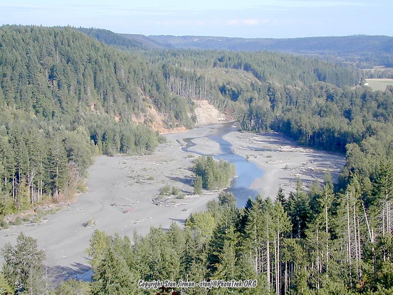
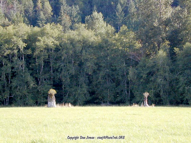
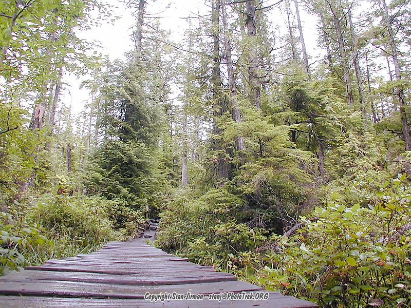
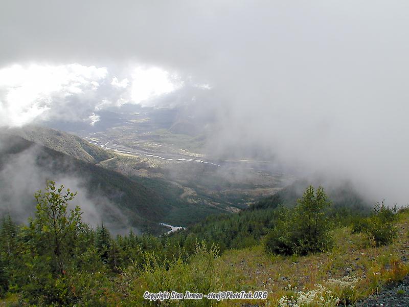
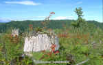
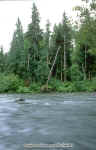
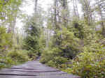
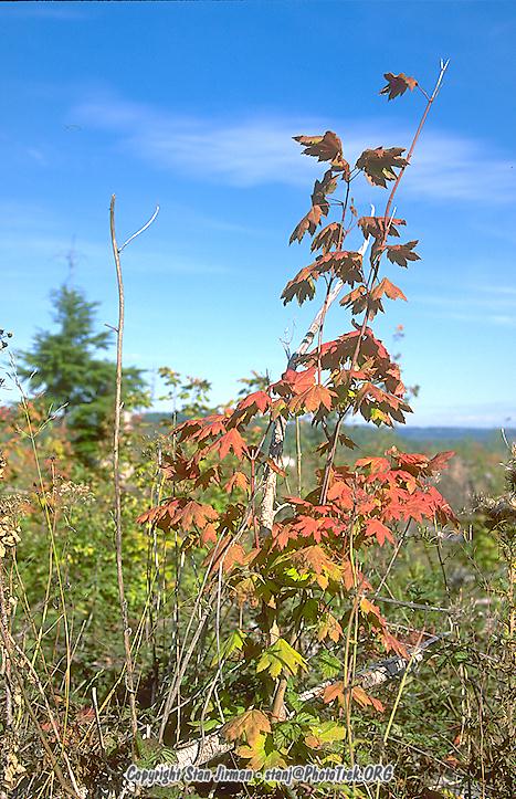
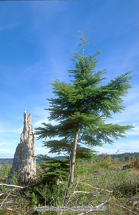
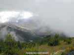 The
schedule for Monday called for a trip to Mt. St. Helens. I have visited the
place in 1994 and wanted to see how much has changed since. Even back then, the
forest was nicely recovering from the 1980 eruption. This time, I quite honestly
doubted if I was at the right place. I mean, there was trees pretty much
everywhere one could see - which was not too much, admittedly, for it was very,
very foggy and raining. There was the occasional dead fallen tree, especially
down at the river, but other than that, I must assume that the trees which were
blown over were happily hidden in the fog.
The
schedule for Monday called for a trip to Mt. St. Helens. I have visited the
place in 1994 and wanted to see how much has changed since. Even back then, the
forest was nicely recovering from the 1980 eruption. This time, I quite honestly
doubted if I was at the right place. I mean, there was trees pretty much
everywhere one could see - which was not too much, admittedly, for it was very,
very foggy and raining. There was the occasional dead fallen tree, especially
down at the river, but other than that, I must assume that the trees which were
blown over were happily hidden in the fog.
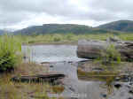
 Because
of the friendly signs telling you that you are not welcome off the pavement of
the road or beyond the 0.5 mile trail, and since one could barely see as far as
one's own foot, I decided to scrub the mission and - yes, ok, I had to do it -
head for the OR coast instead, as a minor detour on the way to Eugene, where I
wanted to stay overnight.
Because
of the friendly signs telling you that you are not welcome off the pavement of
the road or beyond the 0.5 mile trail, and since one could barely see as far as
one's own foot, I decided to scrub the mission and - yes, ok, I had to do it -
head for the OR coast instead, as a minor detour on the way to Eugene, where I
wanted to stay overnight.
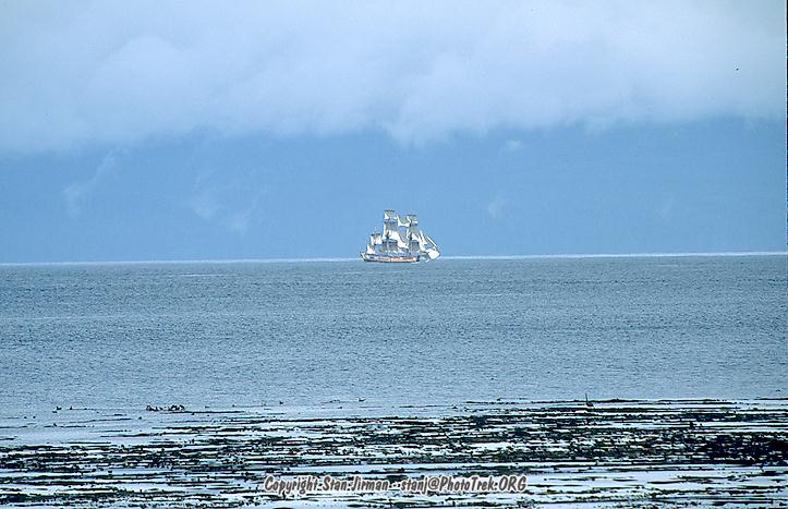
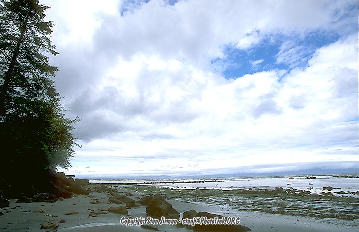
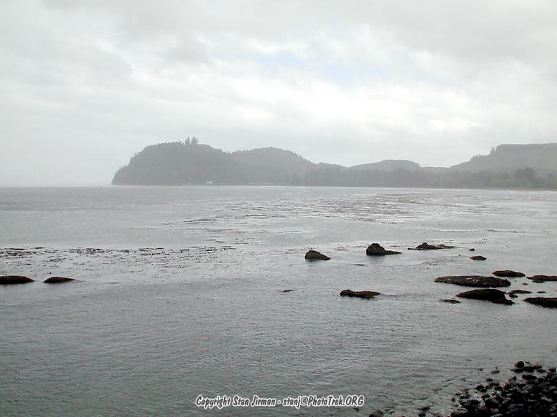
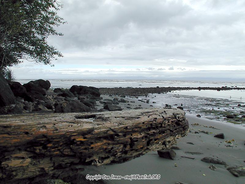
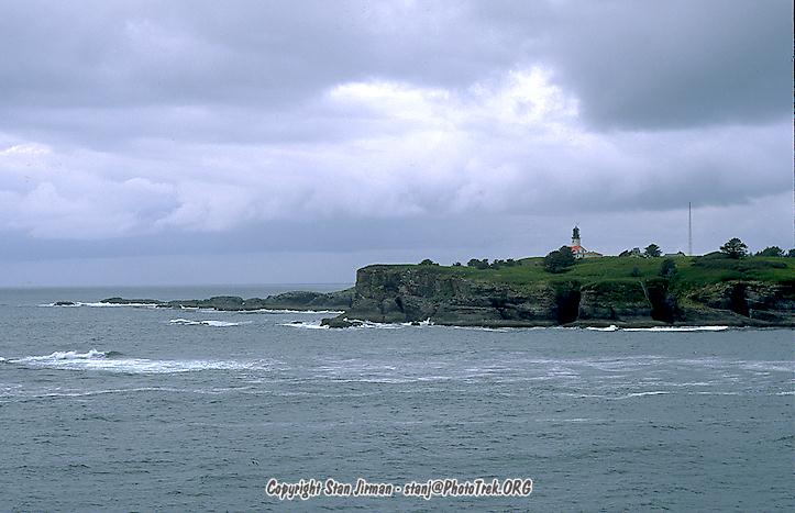
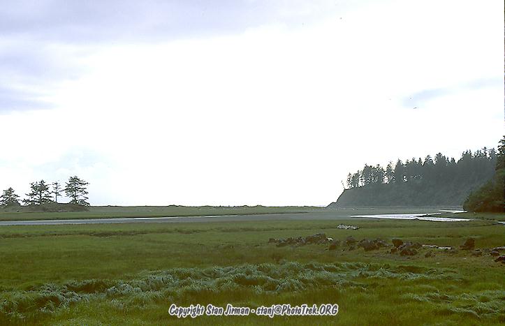
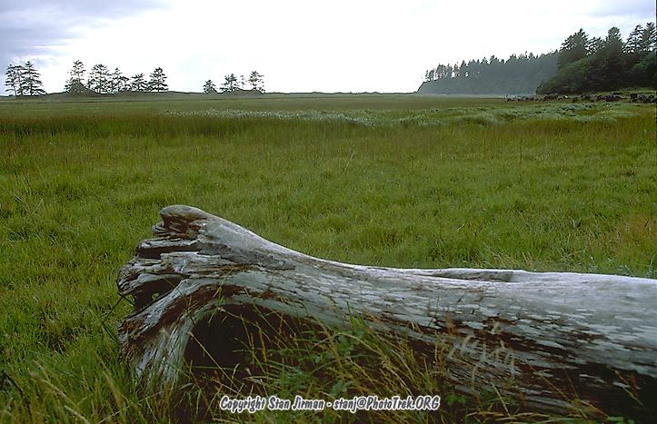
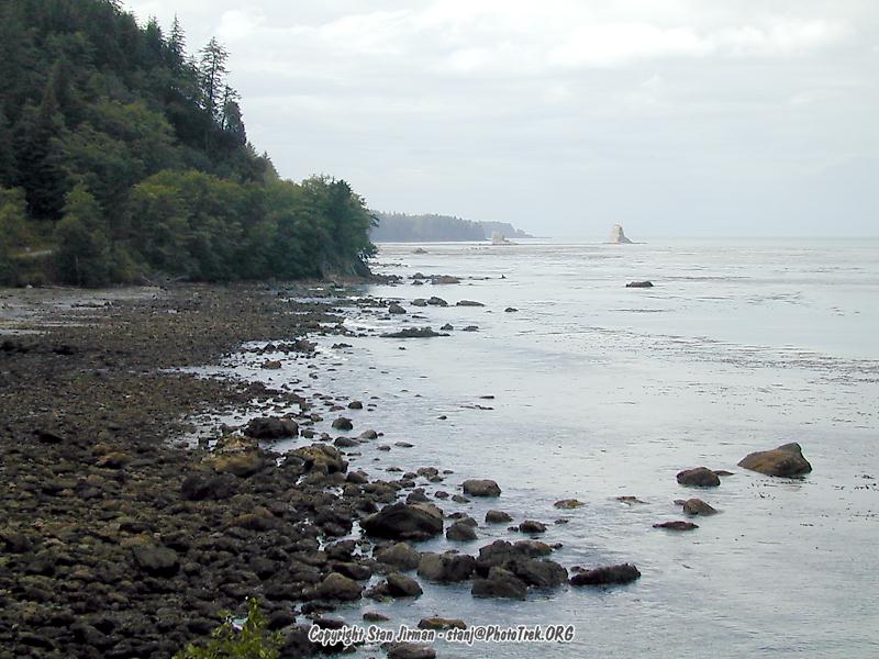
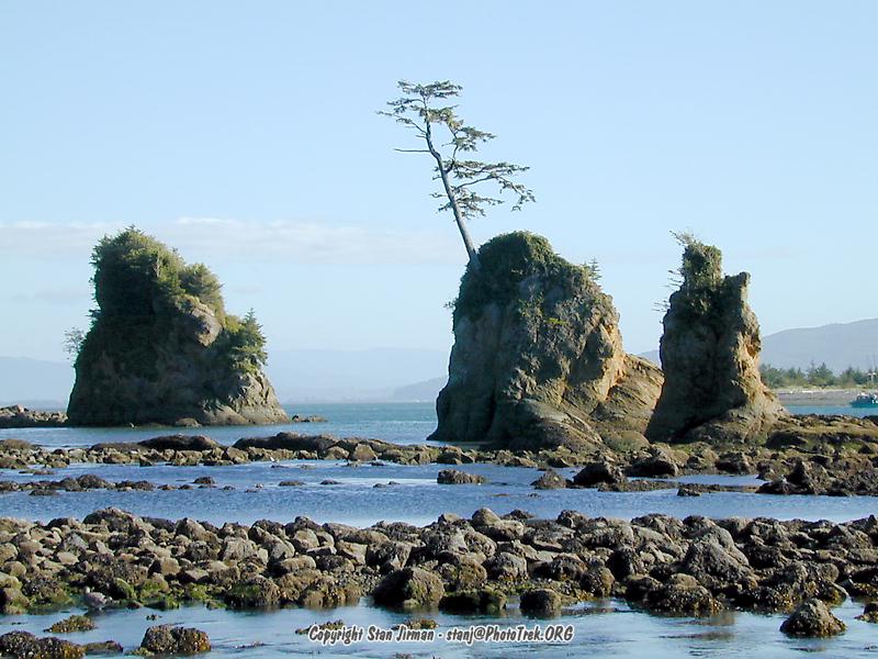
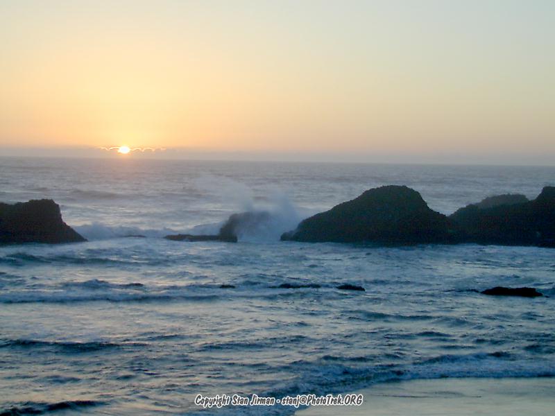
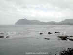
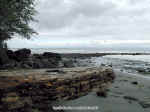
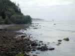
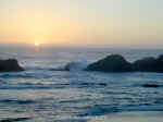 At
the coast it was not raining today, but it was still very hazy and not at its
best. I casually headed south, across the Astoria bridge from Washington down to
Oregon. With all the people leaving from the long weekend, the US-101 (south)
was quite congested and progress was minimal. Because of this, I didn't get as
far south as I wanted, where I like the coast the most.
At
the coast it was not raining today, but it was still very hazy and not at its
best. I casually headed south, across the Astoria bridge from Washington down to
Oregon. With all the people leaving from the long weekend, the US-101 (south)
was quite congested and progress was minimal. Because of this, I didn't get as
far south as I wanted, where I like the coast the most.
Email Stan
World Travelogues Index
 The
annual tradition of an annual trip to Oregon had to be maintained even in 1999.
So it came that I took off for the Labor Day Weekend, and some. Stupidly, I took
my car instead of flying - it doesn't seem so far when you look on the map - but
once on the road I quickly realized my mistake. Especially since -- who knows
what I was thinking -- I headed from Santa Clara to Stockton. Yes, the I-5 goes
thru there, too, but it's about a 2-hour detour. Anyway. I spent Saturday
driving, until I reached Olympia, WA.
The
annual tradition of an annual trip to Oregon had to be maintained even in 1999.
So it came that I took off for the Labor Day Weekend, and some. Stupidly, I took
my car instead of flying - it doesn't seem so far when you look on the map - but
once on the road I quickly realized my mistake. Especially since -- who knows
what I was thinking -- I headed from Santa Clara to Stockton. Yes, the I-5 goes
thru there, too, but it's about a 2-hour detour. Anyway. I spent Saturday
driving, until I reached Olympia, WA.